Posts Tagged ‘SOTA’
 Two SOTA Activations: W0/SP-099 and SP-115
 August 11th, 2013 |
  Author: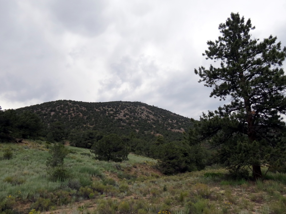
Bald Mountain (W0/SP-115)
Lately, I have been focusing on activating the SOTA (Summits On The Air) peaks near our cabin in the mountains. The basic idea is to identify a SOTA summit, hike to the top and make a few contacts on VHF. On Friday, my spousal unit (Joyce, K0JJW) and I decided to head out to an unnamed peak (W0/SP-099), southeast of Buena Vista, CO. By no coincidence, this summit had not been activated yet, so we’d get the esteemed honor and glory of being the first.
For lesser known summits, a bit of research is required to figure out the route. My first stop is to check the SOTA database for basic information on the summit. I’ll usually have to dig further using ListsOfJohn and SummitPost. ListsOfJohn is an incredible database of topographical information, listing every summit along with information such as elevation, lat/lon, rise, etc. (The Colorado SOTA information was gleaned from ListsOfJohn.) SummitPost will usually have more detailed information on a summit but only for the more popular ones. The SOTA Mapping Project is another excellent resource with very useful interactive topo maps. And, of course, I also dig out the US Forest Service map for the area, which often gives the best view of access roads.
We drove the Jeep to within a mile of the summit and started hiking up. I posted our route information on ListsOfJohn, so take a look there for that information. The summit is unnamed, so it is referred to by its elevation: 10123. I had my Yaesu VX-8GR burping out APRS packets which were plotted on aprs.fi when we reached the summit.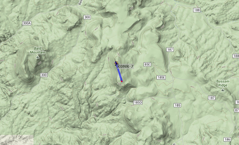
When we reached the summit, I spotted myself on the SOTAWatch web site using the SOTA Goat app on my smartphone. More importantly, the night before the hike, I sent an email to some of the radio amateurs that were likely to be within VHF range. That paid off and I worked Jim KD0MRC, Walt WZ0N and John K3NOQ on 146.52 MHz FM. Jim was hiking to Harvard Lakes above 10,000 feet, so it was special to be able to contact him on the trail. A little later, I caught KV4AL who was mobile near the top of Mount Evans. While only one contact is required to “activate” a summit, four contacts are needed to earn SOTA points, so I was happy to make these four QSOs. My gear was a Yaesu FT-60 driving a 3-element Arrow yagi antenna.
In addition, Joyce and I generally work each other on the SOTA the summit. The SOTA rules say that “QSOs with others within the same Activation Zone do not count towards the QSO total” which means that one of us needs to hike down a bit to get outside of the activation zone (75 feet vertical feet from the summit). We take turns doing this so that each of us activates the summit and makes a contact with the summit.
We took a round about path back to the Jeep and headed for Bald Mountain. At this point, we were both very tired and the thunderstorms were moving in. We decided to at least check out the access to Bald Mountain (Wo/SP-115) even if we didn’t climb it that day. It turns out that there is a 4WD road that goes to the top of the mountain, so we drove to the summit. The road is very rough in a few spots but the Jeep handled it nicely. At the top, we hiked back down a bit to meet the non-motorized ascent requirement for SOTA. We also did our “work each other” technique while on the mountain so that we each had a contact. I was not able to raise anyone on 146.52 MHz but I did catch Carl K5UK on the 146.745 MHz repeater and worked him on simplex. By this time, it was raining with lightning getting closer, so we abandoned the summit and headed back to the cabin.
Thanks to the guys that took the time to contact us on the two summits.
73, Bob K0NR
My Backpack Progression
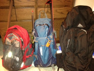
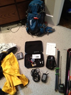
As with any activity the more experience you get, the more refined your approach becomes and so it has been with me. My first activation was last March. I took my KX3 with an FT-817 as backup, an Alexloop, a Buddistick, several coax jumpers (BNC - PL-259, BNC - BNC and other combinations just in case), a pound of trail mix and several bottles of water. All this for a 3.5 mile round trip. I didn't even want to weigh it.
Emory Peak Activation
For those not familiar with the Summits on the Air (SOTA) program there are bonus points added for activating a summit either during the winter in cold climates or during the summer in hot climates. West Texas is definitely a hot climate. Emory Peak is a 10 point summit (maximum), but activating in the summer months is worth 3 extra bonus points. On the drive from Mt. Locke to the Big Bend area temperatures hovered between 99 F to 101 F. The temperatures would moderate a little at the Chisos basin where we were staying, although not a lot. The Chisos Mountain Lodge is around 5500 feet in elevation, but the high temperatures during this time of year are in the low 90's.
The Chisos Mountain range within Big Bend National Park is a beautiful place. Emory peak may be the only peak that is climbable, but even then, you must climb the last 35 feet using some, not so easy, rock climbing techniques. I would not recommend it if you aren't experienced.
The trail to the summit of Emory Peak is a very nice trail. It is well marked and maintained. The only issue is that the round trip is 9.4 miles and there is 2,500 feet of elevation gain. Given that distance the elevation gain is not particularly difficult, if you are accustomed to mountain hikes, but it is a long way.

 |
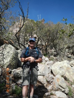
| Cris, my XYL, just below the summit |
 |
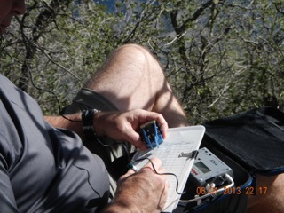
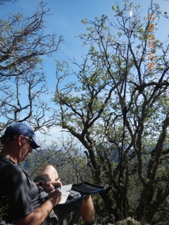
| AD5A just below the Summit VHF Antenna above are on the Summit |
 |
| Emory Peak Shack You can see the Buddi-stick if you look closely |
SOTA Activation, Locke Mountain, Davis Mountains, TX
Tomorrow I will try Emory Peak in Big Bend National Park, W5T/CI-009. This is a 9 mile round trip. I will be on the trail early, but if it gets too hot, I will call it a day. Check out www.sotawatch.org for spots. I will try to summit between 1400-1500z on 2 Aug.
A Little Mountaintop Video
While digging through the archives, I came across some previously unseen video from the 2012 Colorado 14er Event. Joyce KØJJW and I operated from Mount Sneffels (SOTA W0/UR-001) and this video shows a radio contact with Mark KTØAM on Mount Shavano.
The 2013 event will be held August 4th, see www.14er.org.
Summits On The Air (W0/SP-112) – Castle Rock
There is a very jagged peak just east of Buena Vista, CO called Castle Rock (not to be confused with the city by the same name). I knew this was a SOTA summit (W0/SP-112) and I had my eye on it for a while now. It is extremely rocky and jagged near its summit, so I was not sure if it could be ascended without a technical climb. A little research revealed that it was climbable but quite steep near the top. SummitPost.org has a good description of how to ascend this peak.
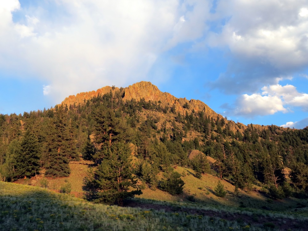
Castle Rock
My hiking partner and wife, Joyce K0JJW, joined me on the climb. We managed to get off the preferred route and got into some very steep rock scrambling. Good judgment prevailed and we regrouped and found a more reasonable path but probably cost us an extra hour of hiking. As advertised, it did get very steep at the top. (Study the SummitPost information more carefully than I did.)
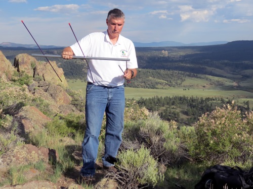
Assembling the Arrow 2-Meter antenna
Recently, I picked up an Arrow 3-element Yagi antenna for 2 Meters (Model 146-3). This antenna can be dismantled and carried inside a reasonable size daypack (or strapped on externally). The boom has two threaded holes for mounting the antenna on a camera tripod. I used a MountainSmith trekking pole that can double as a camera monopod and mounted the antenna on it.
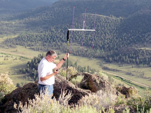
Operating with the Arrow antenna mounted on the trekking pole
For this SOTA activation, I kept it simple and just used my Yaesu FT-60 to work 2 Meter FM. Accordingly, I configured the Yagi antenna for vertical polarization. (There are two mounting holes on the boom, so you can choose vertical or horizontal orientation.)
The trekking pole is not self-supporting and does not provide much additional antenna height but it makes the antenna a lot easier to point for extended periods of time. I like to use a trekking pole for hiking, so this is a good way to get a little extra utility out of it. I am pleased with how this antenna system performed and will use it again.
73, Bob K0NR
Mountain to mountain QSO.
My lunchtime QRP session had that ominous look, like it was going to end up being a bust. The bands were nowhere near as hearty and robust as they were the past few days. 15 Meters had one strong signal, HA9RT booming in. I’ve worked Jozsef several times in the past, and even though he was coming in like gangbusters, I figured I’d let him get some new stations in his log.
20 Meters was a ghost town and 17 Meters seemed to be the liveliest of the three bands. Still, there wasn’t much activity and the signals I was hearing weren’t the strongest. I didn’t feel like going back into the building, so I decided to call CQ on 17 Meters.
Much to my surprise, I was answered by George KX0R who was the first place finisher in last year’s NJQRP Skeeter Hunt. George had a nice 579 signal into New Jersey. He was using an ATS3B at 5 Watts into an inverted “L” on a mountain in Colorado. Bald Mountain, SOTA peak W0/FR174, to be exact. 9,190 feet above sea level to be even more exact.
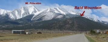
If you really, really, really, REALLY want to stretch the truth ….. you could say we had a mountain to mountain QSO. But that would be stretching the truth almost to the point of breaking it!
Warren, the town where I work, is located on the second ridge of the Watchung Mountains here in New Jersey. My height above sea level there is all of about 500 feet or so. Not much, by mountain standards, but since most of New Jersey is coastal plain and Piedmont, 500 feet is pretty high up there for a relatively flat state.
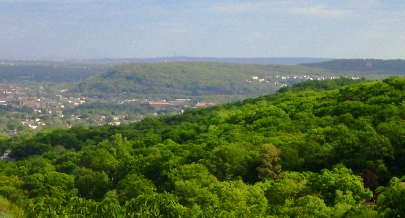
Now, according to geologists, if we went back in time, say about 200 million years or so, the Watchungs were about as tall as the present day Rockies or even the Alps. Just goes to show what time, rain, ice and wind can do to you, eh? So in essence, compared to the Rockies, and even the farther western Appalachians, the Watchungs are more or less just “hills”. But they’re our hills and the original settlers of New Jersey called them mountains, so who are we to argue?
72 de Larry W2LJ
QRP – When you care to send the very least!